
Evacuation orders swept parts of Santa Clarita after the Bike Fire raced near homes before crews gained control the same day.
Story Snapshot
- Officials ordered evacuations across multiple Santa Clarita zones as the Bike Fire advanced.
- Warnings extended to nearby communities while aircraft and ground crews attacked the flames.
- A shelter opened at College of the Canyons for displaced residents.
- All evacuation orders were later downgraded as conditions improved.
Evacuations Ordered As Fire Threatened Santa Clarita Neighborhoods
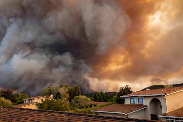
California fire officials recorded the Bike Fire starting on October 11 near Camdria Estates Lane and Ravenhill Road in Santa Clarita. Authorities issued evacuation orders for several zones, including SCL-SULTUS, NADEU-A, SCL-SANDSOUTH-B, and later SCL-MACMILLAN, as the fire moved toward homes. Crews from Los Angeles County and the United States Forest Service joined the response. The goal was to push flames away from neighborhoods and keep roads open for people leaving the area.
Officials also posted evacuation warnings for nearby communities as a buffer. Those warnings covered areas such as SCL-NADEU-B, SCL-CRYSTALSPRINGS, SCL-WOODLAND, SCL-SANDSOUTH-A, SCL-FAIROAKSRANCH, SCL-MEDLEYRIDGE, and SCL-ROLLINGHILLS-B. These steps showed a graduated plan: order people out where the risk was highest and warn neighbors to be ready. This approach aimed to prevent last-minute traffic jams that can trap families when winds shift or embers jump roadways.
Rapid Multi-Agency Response And Shelter Operations
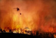
Firefighters attacked from the ground and air to keep flames off ridge lines and backyards. The Angeles National Forest reported using two Super Scoopers to drop water, while county engines defended homes on streets closest to the burn edge. An evacuation shelter opened at College of the Canyons on Rockwell Canyon Road, giving evacuees a safe place to check in and receive help. Shelter operations signaled that officials expected some residents to be displaced for hours, not minutes.
News outlets reported different acreage totals during the day as mapping changed. Some reports put the size near 170 to 172 acres, while others cited about 475 acres. Such differences often reflect early estimates versus later perimeter updates. Officials focused public messages on who needed to leave and when they could return, rather than on a firm acreage while firefighters were still drawing control lines.
Orders Downgraded After Crews Gained The Upper Hand
By evening, fire agencies reported improved conditions and better containment along key edges. All evacuation orders tied to the Bike Fire were downgraded to advisories, allowing residents to return home with caution. The Los Angeles Times reported that firefighters from Los Angeles County and the Angeles National Forest held lines near homes as winds eased and air drops cooled hot spots. Authorities kept some warnings in place while crews patrolled for flare-ups.
FAST MOVING CALIFORNIA WILDFIRE FORCES EVACUATIONS
A rapidly spreading wildfire is threatening communities in Santa Clarita, California, forcing residents to evacuate as flames sweep through dry vegetation.
The fire broke out Sunday afternoon near Camdria Estates Lane and… pic.twitter.com/9n66Ee2fsb
— Michael Bradbury (@MrMBB333) October 12, 2026
Wildfire managers often move fast on evacuations because many people wait for visible flames before leaving. Research shows that delays can create gridlock and raise the risk for families and responders alike. Graduated orders and warnings, plus plain-language alerts and clear zone maps, help people act sooner and safer. The Bike Fire response followed that playbook: clear zones, staged warnings, a ready shelter, and quick downgrades once crews turned the corner.
Sources:
nypost.com, fire.ca.gov, latimes.com, cbsnews.com, abc7.com